The mountains are loud in the spring. The birds are back in the trees, chirping and flying from limb to limb. Squirrels and chipmunks crunch through brown leaves, gathering and talking. Water streams down mountainsides, flowing strong and loud from snowmelt, always.
Winter isn’t cooperating with spring’s push to warm the Adirondack woods. Recent cold temperatures have allowed patches of filthy snow to survive throughout the Lake George Area. I’m not interested in winter anymore. I’m ready to throw my snowshoes in the basement, toss my crampons in a drawer, and enjoy the sun and warmth of our local trails. Thomas Mountain in Bolton Landing is always a convenient place to start.
The Cat and Thomas Mountains Preserve is a DEC-owned and operated trail system. The tract preserves over six miles of easy-to-difficult hiking trails that can be extended by hiking to or from Cat Mountain to The Pinnacle.
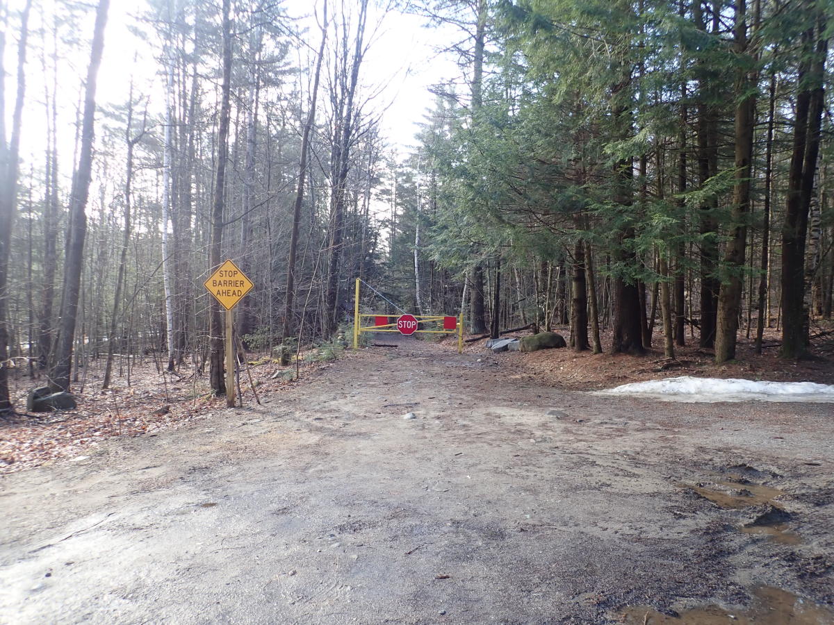
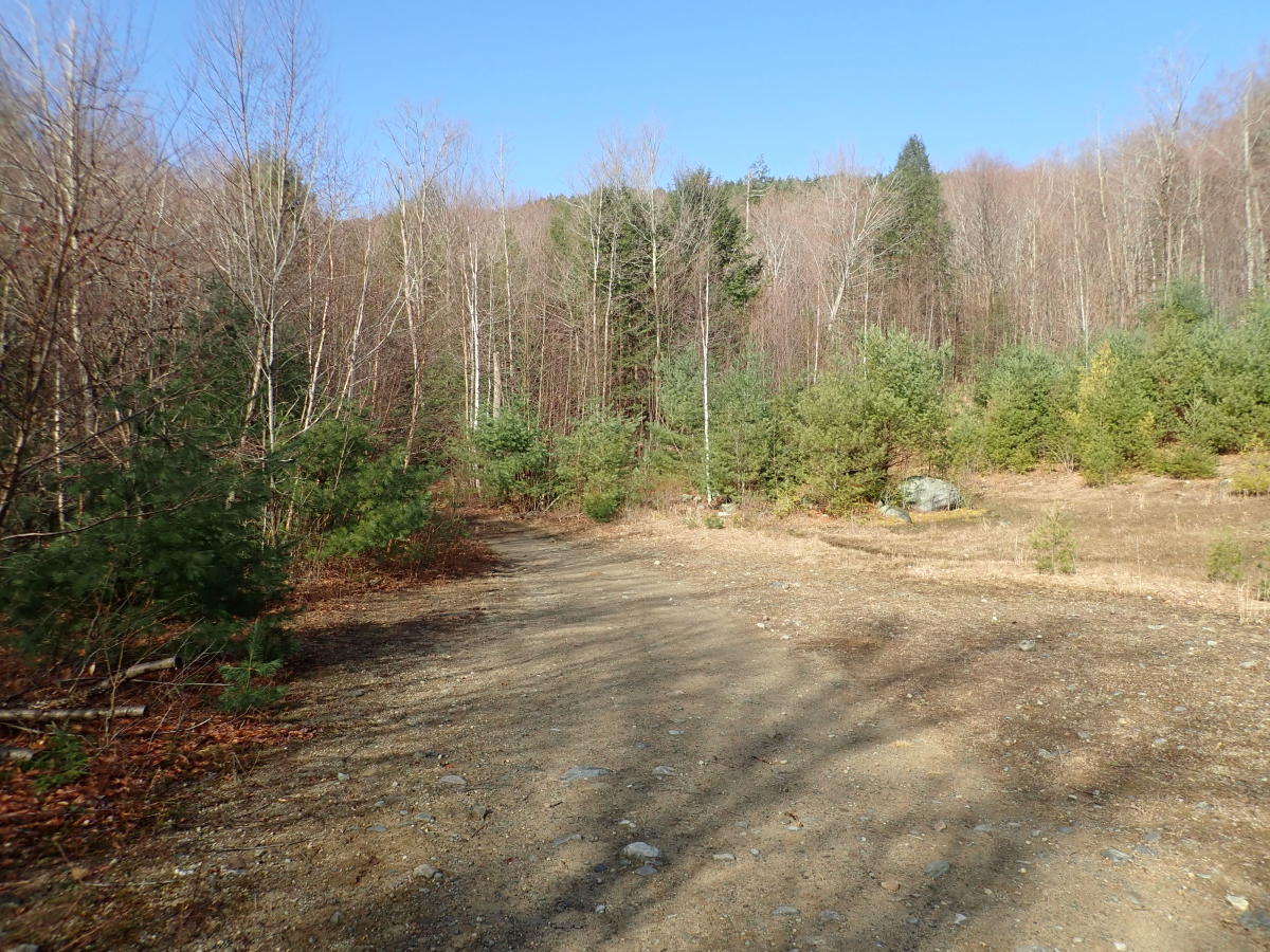
I pulled into the empty parking lot at the corner of CR-11 and Valley Woods Road in Bolton Landing and parked. I was happy to find an empty lot and hoped I would be alone on the trails. I passed the metal gate, signed into the book at the trailhead, and started my hike.
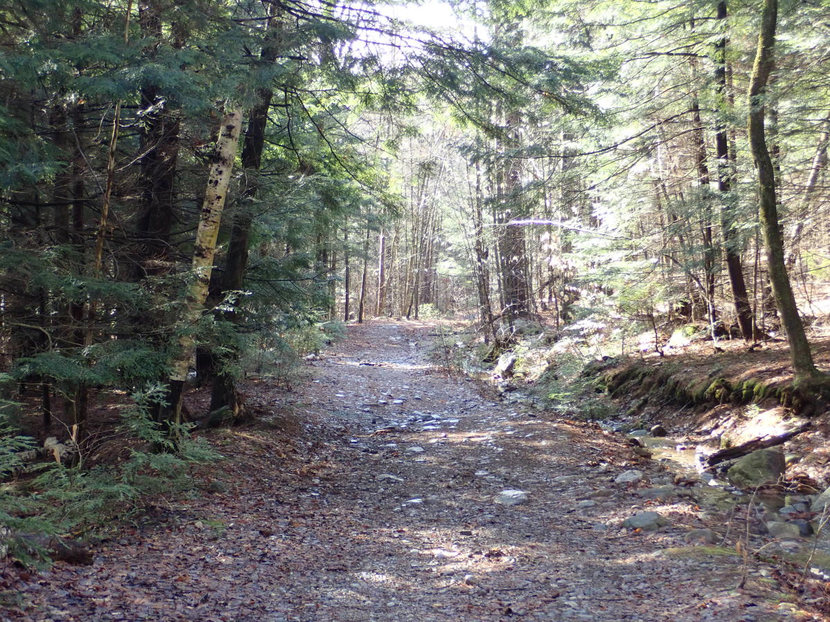
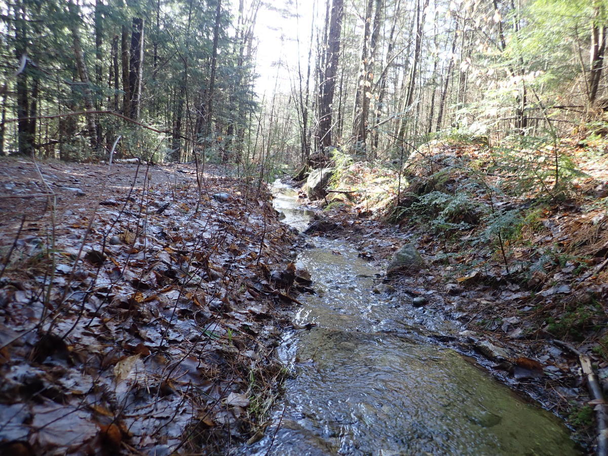
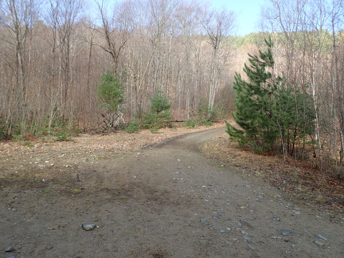
The first section of Thomas Mountain is a 0.7-mile, wide dirt road. The trail spans about three to five feet wide throughout and begins as a flat stroll through a wide wood. Water was screaming down the mountain on both sides of the trail, and a trickle of a stream rushed parallel to the trail as I hiked.
Every trail in this preserve is extremely well-marked. From the Valley Woods Road parking area, blue trail markers are nailed on trees and nearly always within view. The trail is obvious and can't be lost since it's a broad logging road with springtime boot marks stuck deep in the mud.
The hike was springtime cold in the shadows, and I jammed my hands into my pockets between photos to keep them warm. At the same time, the sun was poking through the trees, and the sky was a solid splash of blue, so I knew some warmth was coming.
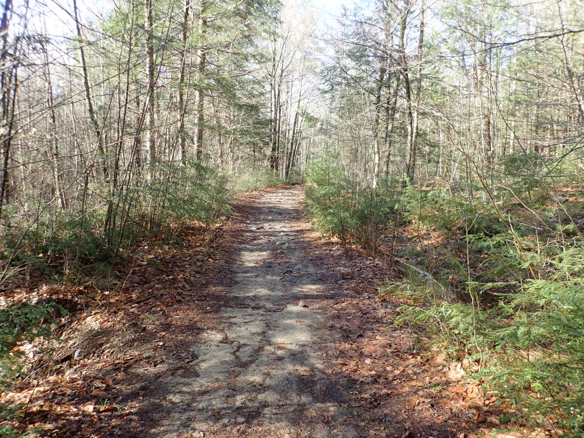
After a few turns on a flat trail, the first gradual hill of the hike begins. It’s a gradual climb littered with rocks and boulders ranging from pebble-sized to dinosaur egg-sized all over the trail. The loose rocks made footing difficult at times. Right before the beginning of this first incline, off to the left of the trail is a slowly meandering creek that can be heard constantly. The rocky trail turns into sand for a stretch, making finding footing easier. The trail is often hedged by young evergreens on both sides.
At the top of this first short hill is a large opening on the right. It looks like a sandpit, and I spotted some blue jays flitting in and out of a tree. Just beyond that is the beginning of another hill, and also a hard-to-find fork on the right that leads hikers on a more difficult path through the woods to the top of Thomas. That’s a fun trail, but today I stayed on the logging road.
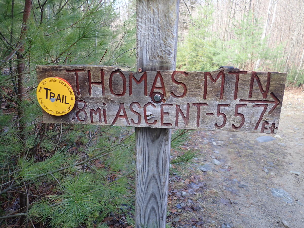
Following the next hill is a big trail junction. Make sure when you reach the clearing and fork that leads to the summits of either Cat or Thomas Mountains that you follow the yellow trail, bearing right and following the crossroads sign, towards the summit of Thomas. If you continue on the blue trail towards Cat Mountain you can complete a loop, but today we’re heading straight to the summit of Thomas Mountain. From here you have 0.8 miles to the summit, an ascent of 587 feet.
I headed for the yellow trail and started to knock some of those 587 feet to the muddy trail. The trail to the summit follows the same formula as much of the earlier trail: a five foot wide, loose-rock covered trail of mostly spring mud winds up the mountain, semi-steeply with a few flat parts thrown into the mix. The day was beautiful, without a cloud in the deep-blue sky, and the temperatures warming up. The few spots of snow and ice still dotting the trail weren’t going to last much longer. Good riddance.
I stopped for a drink under a yellow trail marker and heard one of the strangest noises I’ve ever heard in the woods. It sounded like a rubber ball dropped on the kitchen table, making a thump… thump.. thump.. thumpthumpthump until it abruptly stopped. At first, I thought it was only in my head, which freaked me out. I was alone in the woods and half-expecting to pass out mid-sip. I put the cap on my water bottle and kept going, hoping to complete the climb before my death.
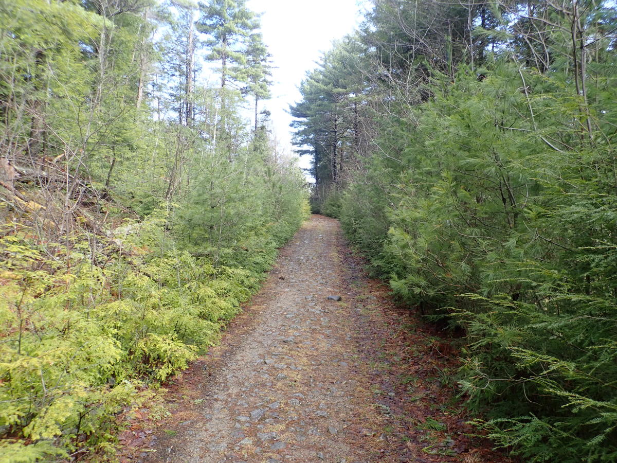
More loose rocks. More muddy sand. Water was absolutely pouring down the mountain, with drainage pipe helping to keep the trail dry. The trail was in decent shape, but I made sure to stomp through puddles to avoid doing any damage in the sloppy places.
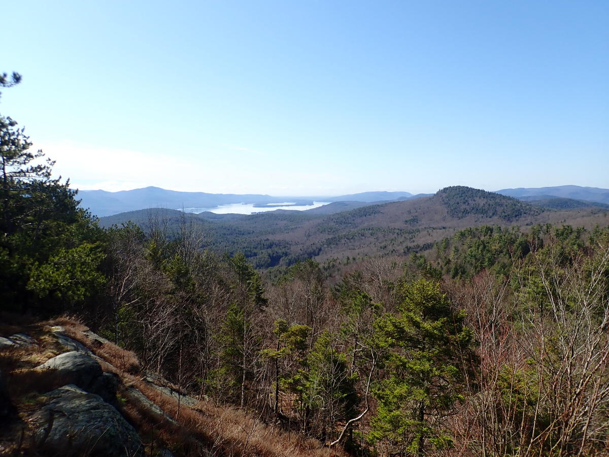
After a ninety-degree right turn, then a gradual left and another climb, I found the top of Thomas Mountain. The summit is large, with downed trees, nicely-placed rocks, and natural shelves perfect for a summit beer or sandwich. The view is even better. To the south hikers can see the southern basin of Lake George, with Long Island in the middle. To the north is Gore Mountain, with some snow still covering her trails. Unfortunately, the beloved cabin that used to grace the summit of Thomas Mountain was recently removed by DEC due to graffiti, damage, and general immaturity, which is sad. I milled around up top by myself and took a few photos, warming up in the sun. It’s finally spring.
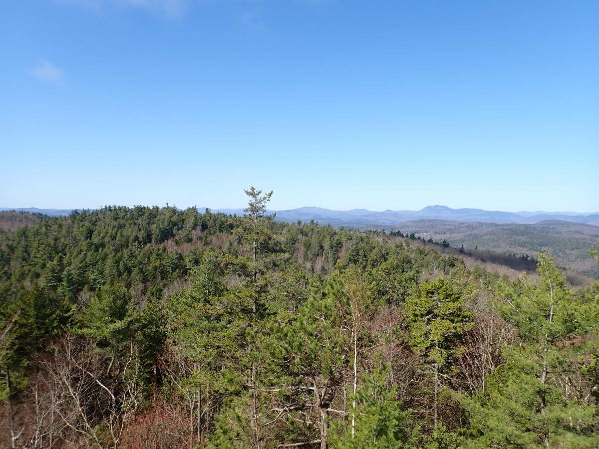
Thomas Mountain is a short, moderate hike for anyone who wants to get their heart racing but doesn't want to travel. The views are fantastic year-round. I've never finished the full loop, but any hiker that wants to make a day of it can continue on to Cat Mountain from the summit of Thomas.
By the way, that thump I heard in the woods was the male grouse “drumming” for a mate. Look it up.